Use APKPure App
Get OSDI old version APK for Android
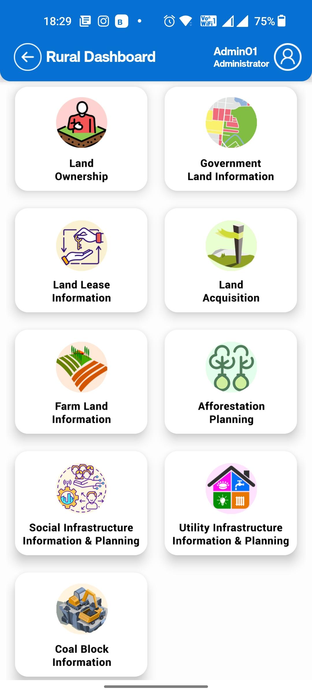
Odisha Spatial Data Infrastructure for various governmental department uses
Welcome to the Odisha Spatial Data Infrastructure (OSDI). OSDI operates on a Geo Spatial repository of data layers comprising of administrative boundaries, street centre lines, land-use, hydrology, forestry, cadastral and many others.
The information on Geospatial infrastructure produced or facilitate by OSDI will be providing Open Geospatial Consortium (OGC) services in 2D & 3D data formats, the Urban & Rural areas using OSDI framework. The portal will disseminate precise and accurate Base Data with sub-meter of such as ortho- images and Digital Elevation Model (DEM) / Digital Surface Mode (DSM), etc.
Last updated on Apr 6, 2024
Minor bug fixes and improvements. Install or update to the newest version to check it out!
Latest Version
![]() 1.7
1.7
Requires Android
5.0
Available on
![]()
Category
Report


Discover what you want easier, faster and safer.

OSDI
1.7 by ORSAC GEO ICT
Apr 6, 2024