Use APKPure App
Get Obec Štiavnik old version APK for Android
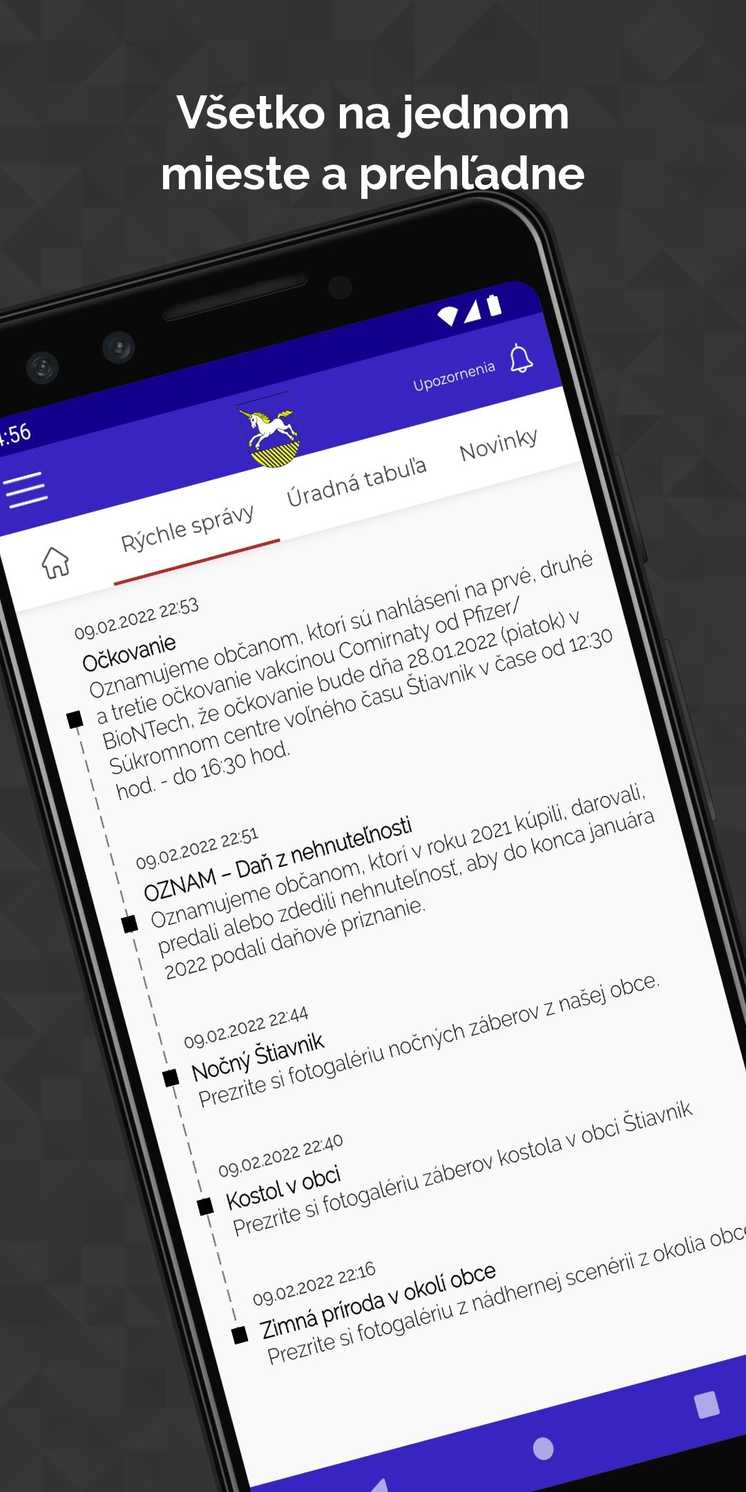
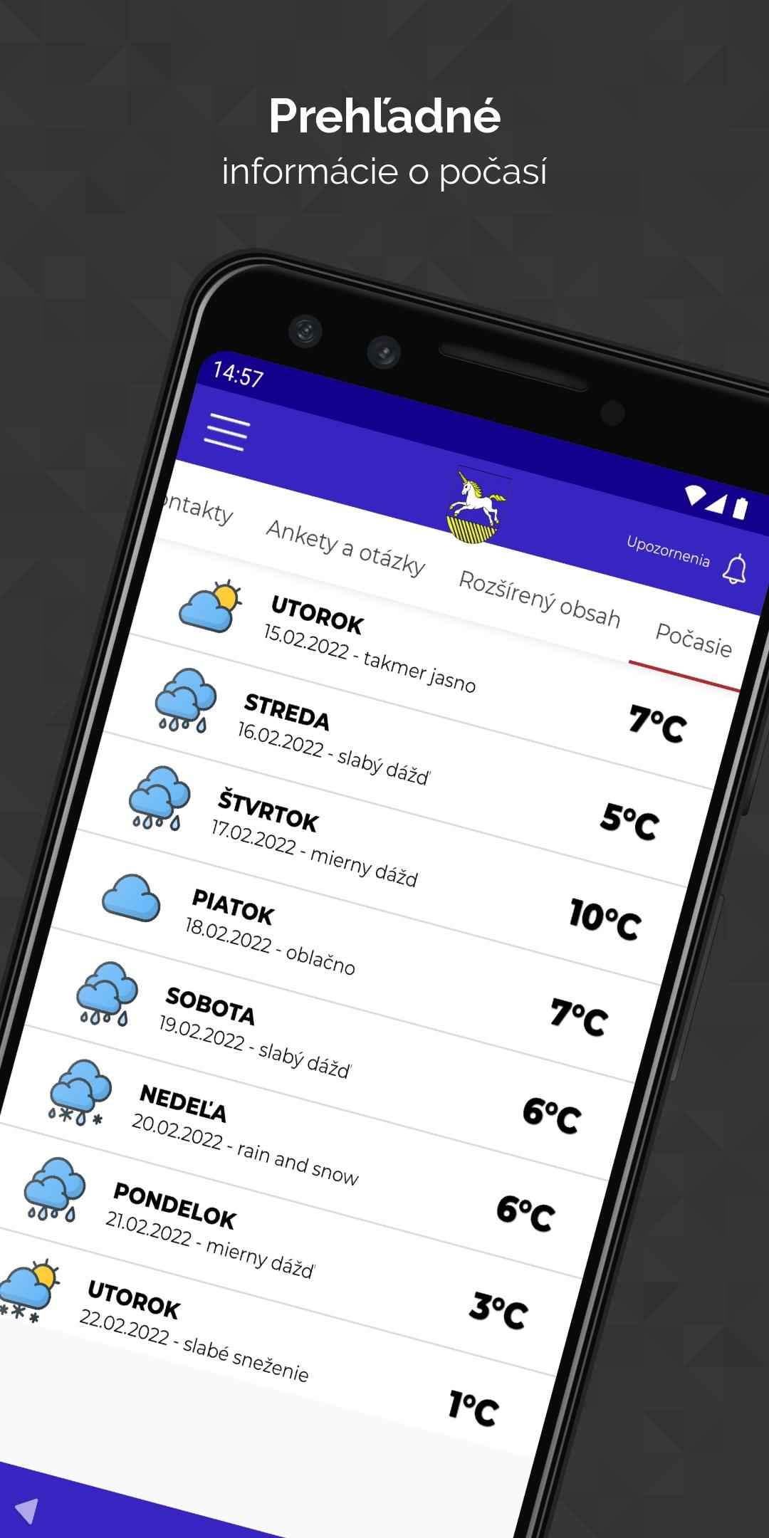
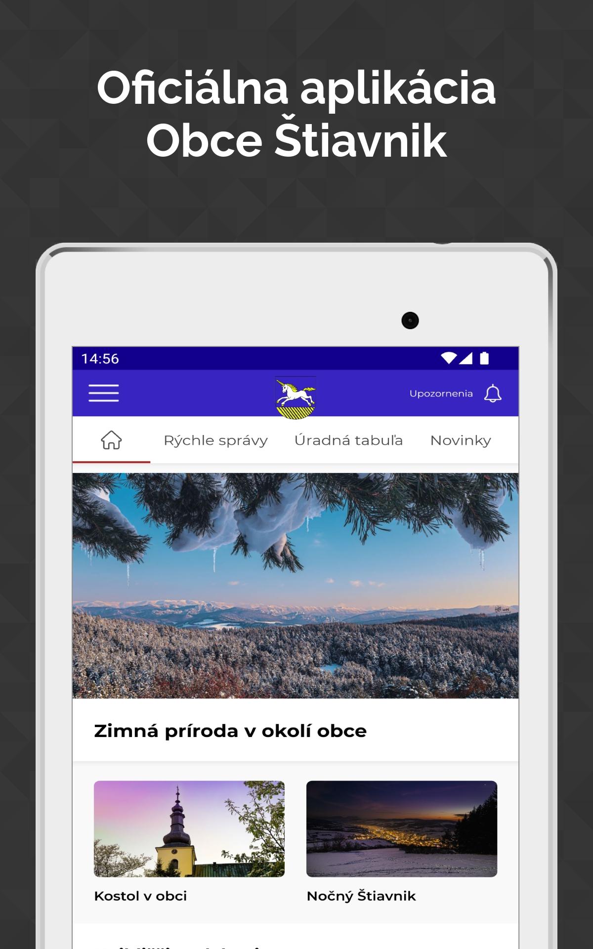
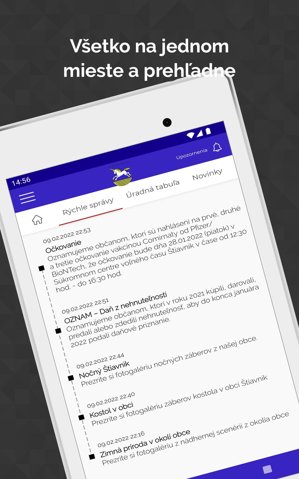
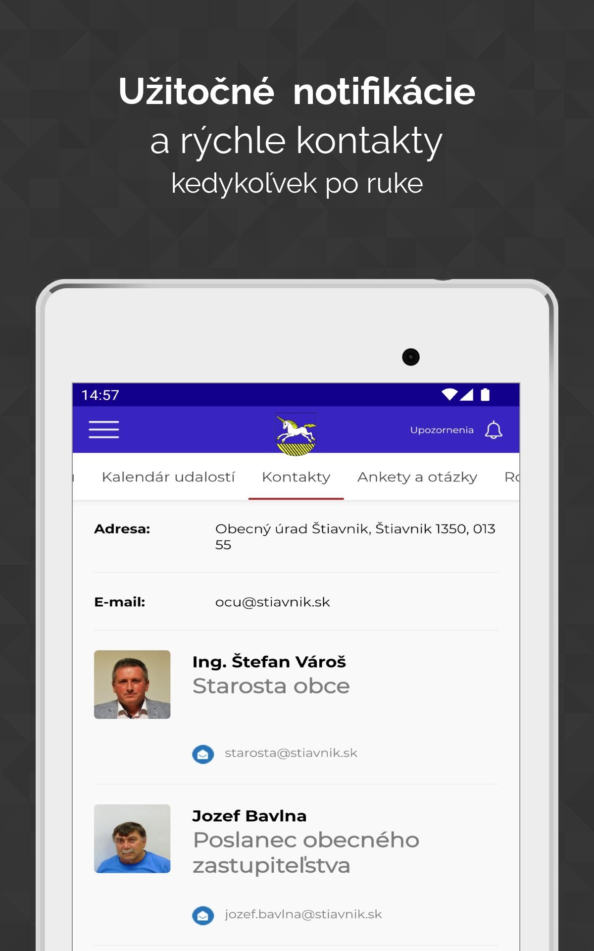
Official application of the municipality of Štiavnik
The village of Štiavnik is located on the middle Považie in the valley of the eponymous stream in the Javorníkov mountains. On the administrative side, it belongs to the Žilina Region, Bytča District. The village lies about 12 kilometers northwest of Bytča. The center of the village is located at an altitude of 345 meters above sea level. The highest point is 1059 meters above sea level. The area of Štiavnik, one of the longest villages in Slovakia, is 55,691 km2.Last updated on Jan 6, 2024
Pilotná verzia aplikácie
Latest Version
![]() 2.5.1-stiavnik
2.5.1-stiavnik
Uploaded by
Nana Hamdy
Requires Android
Android 8.0+
Available on
![]()
Category
Report


Discover what you want easier, faster and safer.

Obec Štiavnik
2.5.1-stiavnik by EWORKS.sk s.r.o.
Jan 6, 2024